


|
|
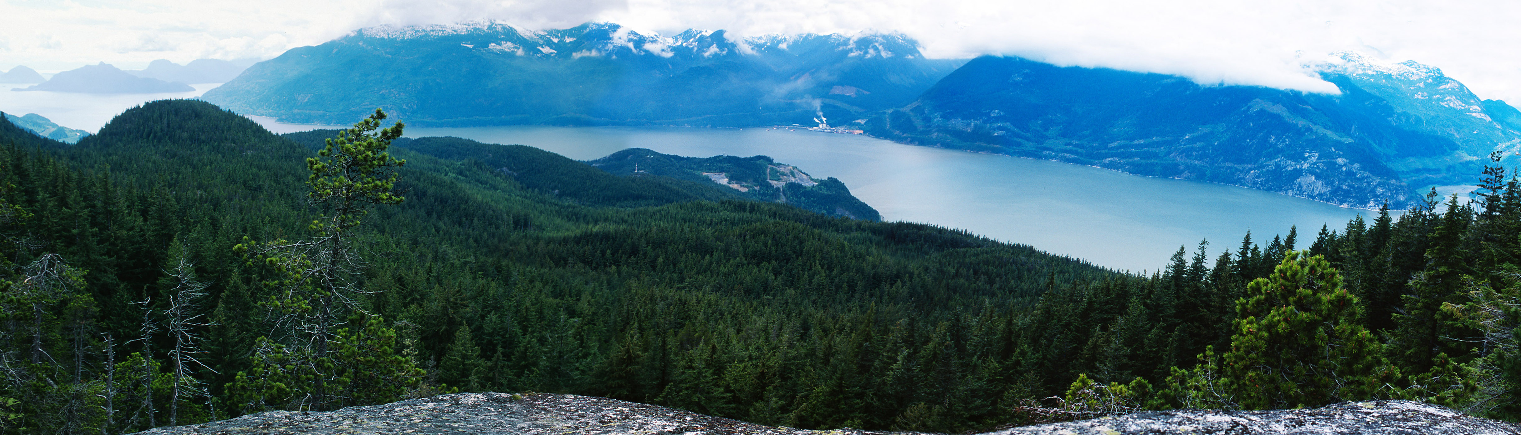
View Over Howe Sound
13 of 13 from Petgill Lake |
|
|
|

|
|
| Camera: | Nikon F100 | |
| Date: | Sunday, May 2nd, 2004 | |
| Film: | Fuji Velvia 50 (slide) | |
| Lens: | Synthetic - Panotools | |
| Location: |
|
|
| Photographer: | John Harvey | |
| Tag: | vista, panorama | |
| Larger image: | 2000 x 572 | |
| Raw image: | 4894 x 1400 |
John Harvey Photo > John Harvey Photo - Hiking > Petgill Lake > View Over Howe Sound
Last Modified Saturday, January 21st, 2023 at 23:41:54. Edit
Copyright and Contact Information.

Wednesday, November 21st, 2007 at 09:44:44