| |
|
|
||||||||||||||||||||

|
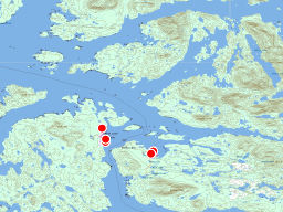
Brown Nootsum River
The Nootsum is stained brown from cedar tannin. We are near the top of the estuary. Tags: river
John Harvey Photo > Mid Coast of BC on the Curve of Time > Shearwater to Codville Lagoon > Brown Nootsum River
|
|
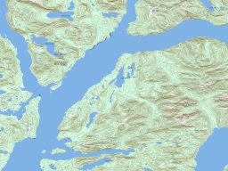
Mouth of Nootsum River
The mouth of the Nootsum river is flat and wide
|

|
Logging Site on Doc Creek
This looks like it is still an active logging site.
|
|
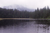
Lake Namu
We went for a swim! The lake is pretty warm and we had a good swim!
|

|
Wharf in Namu
This is current dock in Namu - large vessels can dock (on the left) and smaller boats (like the 90 foot curve of time)
|

|
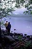
Walking the Beach at Sagar Lake
The beach was an amazing orange colour - I was surprised there was so much sand for an inland lake.
|
|
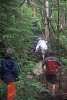
Climbing a Rope
This trail is one of the most damaged I've ever hiked. The soil over the
|

|
Landing for Trail to Sagar Lake
This is the beach head where you begin the hike to Sagar Lake. The sign
|

|
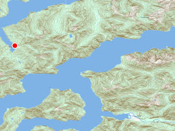
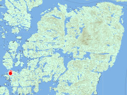
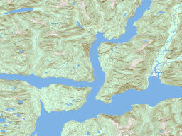
Entrance to Codville Lagoon
Codville Lagoon is a sheltered lagoon on the Eastern side of the Fisher Channel. Tags: coast
John Harvey Photo > Mid Coast of BC on the Curve of Time > Shearwater to Codville Lagoon > Entrance to Codville Lagoon
|

|
Log Sorting Yard
Once the logs were unloaded from the trucks, they would be brought down here, sorted Tags: logging
John Harvey Photo > Mid Coast of BC on the Curve of Time > Codville Lagoon to Jenny Inlet via Ocean Falls > Log Sorting Yard
|